 |
| The green arrow with coordinates represents the Limberlost Trail and the basalt columns. Image from Google Earth. |
 |
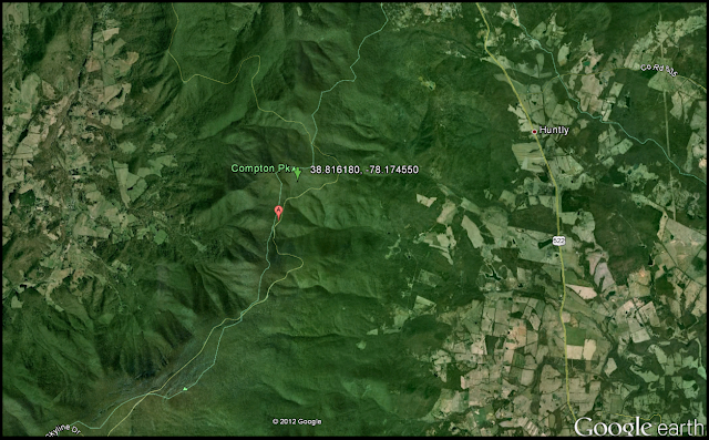
| The green arrow with associated coordinates is the location of the Compton Peak basalt columns. Image from Google Earth. |
The angles of the basalt columns on Limberlost Trail are not equal to 120 degrees, however and must have gone through some type of metamorphic event as noted in the picture below.
Add basalt column picture here
In contrast the basalt columns at Compton Peak showed very little if any deformation. In order to determine this measurements of angles as well as the strike and dip of the joint surfaces were taken. The data revealed that, in fact, there had been little to no deformation at the Compton Peak location which is interesting since it is only 1.4 miles from the Limberlost Trail site. Most of the angles measured by the class at Compton Peak were at or very close to 120 degrees. If both of these basalt columns were formed during the same geological period, which we are assuming they were, than the Limberlost Trail basalt's underwent deformation relative to Compton Peak. This is very interesting because, again, the distance between these two outcrops is minimal especially on a geological scale.
Add Class Picture Here

No comments:
Post a Comment